Why Scouting with Google Earth Matters for Landscape Photography
Finding landscape photography locations yourself is essential for building a unique portfolio. With so many popular spots shared on social media, the ability to discover your own views sets your work apart. Google Earth offers a powerful way to scout locations virtually, saving time and travel costs.
Max Rive's Google Earth Location Scouting Tutorial demonstrates a detailed workflow for finding the most stunning mountain locations using five different elements that determine the quality of a mountain view. This guide explains how you can apply similar principles to your own planning.
What the Tutorial Covers
-
Google Earth Location Scouting Tutorial: This 3-hour course demonstrates in-depth how to find the most stunning mountain locations using 5 different elements that determine the quality of a Mountain View. Instead of relying on generic tips, you get a structured method to evaluate potential photo spots before you ever leave home.
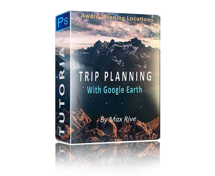
Google Earth Location Scouting Tutorial
-
Google Earth Location Scouting Tutorial: Max Rive will demonstrate his entire scouting workflow, from start to finish, in this detailed 3-hour course. You can follow along step by step, learning the same process Max uses to find unique locations for his own award-winning landscape photos.
Key Principles from the Scouting Workflow
The tutorial focuses on five elements that define a great mountain view. While the exact details are taught in the course, the general approach involves evaluating these aspects:
- Light Direction: Assess how sunlight will hit the landscape at different times of day and year. Google Earth's time slider helps visualize this.
- Foreground Interest: Look for leading lines, interesting rock formations, or water bodies that can anchor the composition.
- Depth and Layers: Identify multiple layers of mountains or hills that create a sense of depth in the frame.
- Accessibility: Use Google Earth's terrain and road layers to plan a safe route to the location.
- Uniqueness: Check if the view has been photographed often by searching for existing images; aim for less common angles.
How to Start Your Own Virtual Scouting Session
Open Google Earth and navigate to a region you are interested in. Use the 3D view to tilt and rotate the landscape, getting a feel for the terrain. Save placemarks for promising viewpoints and note the elevation and orientation. This process can be done entirely from your computer, allowing you to pre-visualize compositions before you pack your gear.
The tutorial by Max Rive goes into much greater detail, showing you exactly how he applies these steps to find real locations that produce stunning images. It is a practical, time-saving tool for any landscape photographer looking to expand their portfolio with original work.