Two maps, two different scopes
The Laminated US Map and the Laminated World Map with Flags are both full-color laminated wall maps, but they answer different classroom questions. One zooms in on the United States; the other zooms out to the whole world. Your choice depends on which view your social studies lessons need most.
Use the US map when your unit is about states, regions, or national geography. Use the world map when you need country boundaries, topography, and flags from around the world. Neither map replaces the other, and many classrooms eventually want both.
Side-by-side: content and coverage
- Laminated US Map: Shows state boundaries, topography, interstates, and major cities in the United States. It is a detailed view of one country.
- Laminated World Map with Flags: Shows country boundaries, topography, and flags from around the world. It gives a global overview rather than state-level detail.
Dimensions that affect wall space
-
Laminated US Map: Measures 45.25"W x 37.5"H. Check this width and height against your available wall area before ordering; it is a large map that needs a clear stretch of wall.
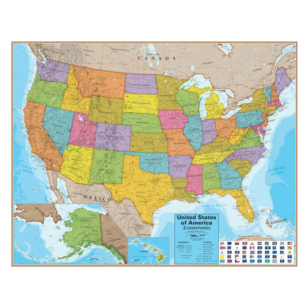
Laminated US Map
-
Laminated World Map with Flags: Measures 51.5"W x 37.5"H. This map is wider than the US map, so it may not fit the same spot. Measure your wall first, especially if you plan to display it above a board or shelf.
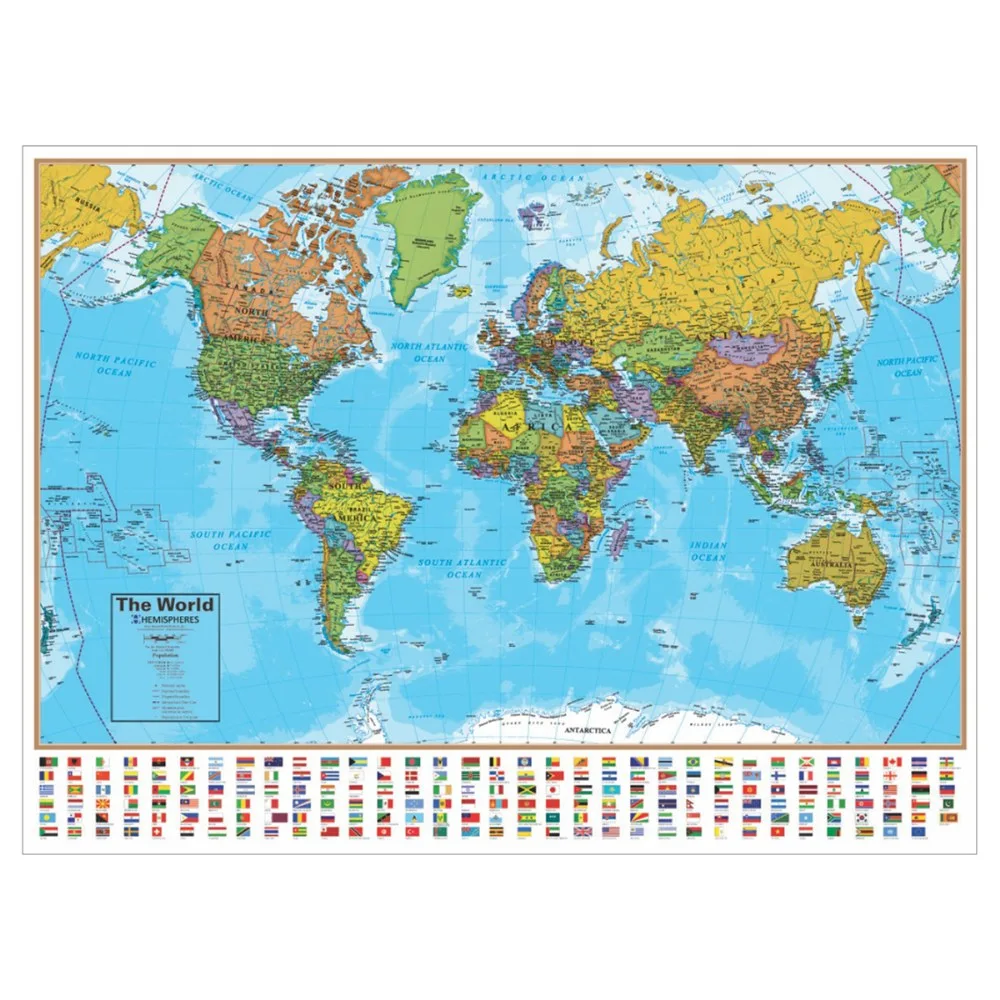
Laminated World Map with Flags
Which map fits your social studies unit?
If your students are learning state names, regions, or interstate routes, the Laminated US Map keeps the focus on the United States. Its state boundaries and major cities support lessons on national geography.
If your lessons cover continents, country locations, or global comparisons, the Laminated World Map with Flags gives you the whole world in one view. The added flags make it useful for discussions about countries and their symbols.
Consider how often you teach each topic. A single map can serve many lessons, but if you regularly switch between national and global themes, you may find yourself wanting both.
What the catalog confirms about each map
- Laminated US Map: This full-color laminated map shows state boundaries, topography, interstates, and major cities in the United States. These details tell you what students can actually read on the map, so you can match it to your lesson objectives.
- Laminated World Map with Flags: This full-color laminated map shows country boundaries, topography, and flags from around the world. The flags are a distinct feature that supports country-identification activities and visual reference.
Practical checks before you buy
Both maps are laminated and full-color, but the supplied information does not include mounting hardware, hanging instructions, or a recommended display height. Plan your own safe mounting method and check the wall space you have.
- Measure your wall: The US map is 45.25"W x 37.5"H and the world map is 51.5"W x 37.5"H. Confirm you have enough width for the map you choose.
- Decide on lesson focus: Choose the US map for state-level detail or the world map for global coverage and flags.
- Check for both: If your curriculum moves between national and global topics, two maps may be more useful than one.
What the catalog does not tell you
The supplied product information does not confirm a grade-level recommendation, a mounting method, or whether the maps are writable with dry-erase markers. If any of these details matter for your classroom, verify them with the manufacturer before purchasing.
Also note that the world map includes flags, while the US map does not list flags. The US map includes interstates and major cities, which the world map does not list. These differences are based on the catalog descriptions and may affect which map better supports your specific lessons.